

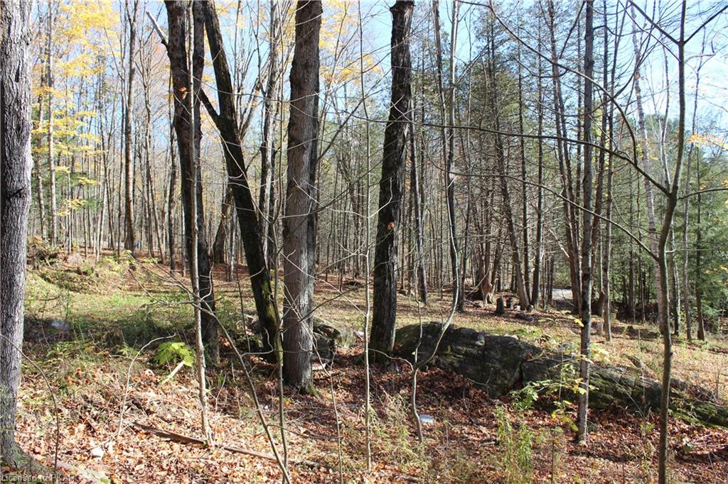
Trail Systems of Highlands East
The opportunity for adventure is extensive in the Municipality of Highlands East! There are galleries, museums, a movie theatre, and the Haliburton Forest Wolf Centre. However, the focus of this article is the plethora of trail systems available for those who enjoy walking, hiking, ATVing and snowmobiling. While there are many different trail systems and routes that you can take along those trail systems. I am just going to focus on a few.
The Prospector Trail Loop is a trail that starts in either Midway Street, Harcourt or you can go to Wilberforce and join the trail on School Road. This trail is generally considered an easy walking trail. The approximate distance from Wilberforce to Harcourt is 8 km. There is an option of a shorter loop that runs the shoreline of Dark Lake is 3.5 km with Wilberforce as the starting point. There are different loops and avenues that you can take along this trail system, which allows you to vary the length and duration of your outing. You will find parking, washrooms and picnic areas to enjoy your lunch on the trail at both entrances to this trail system.
Enjoy nature in Municipality of Highlands East
Farr Road Walking Trail is another trail in the area that can provide a quick excursion into nature. Just a short stroll on what was formally the road to Wilberforce, you will enjoy a scenic journey towards the natural wetlands. The large beaver dam is a sight to behold, along with the natural ecosystem surrounding it. The length of the trail from Highway 648 is approximately 600 meters in length with the difficulty level rated easy.
Motorized Vehicles Permitted
Another trail that can be found in the Municipality of Highlands East is the IB & O trail. The section of the trail from Tory Hill to Farr Road is approximately 5.5 km. It is an easy walk as the terrain is relatively flat. This trail extends to Oxtongue Lake, approximately 14 km away. One thing to note is that this trail is shared between pedestrians, cyclists, motorized vehicles, and horses. Both ends of the Trail offer parking, whereas the park in Tory Hill offers parking, a picnic area, playgrounds and washrooms. As this is a larger trail, there are other activities that you can do along the trail, which include rock climbing, and in the winter months, snowshoeing.

A day of fun ATVing on trail systems
More Trails
The Homesteader Trail acquired its name as a nod to the pioneers who attempted to farm the Canadian Shield. You can start this trail at Glamour Lake or Tory Hill. There are many paths and loops that you can take along this particular trail therefore, the length of the trail and time commitment is totally up to you. For example, from Tory Hill to Gooderham Road the IB& O rail trail extends approximately 6.5 km. If you decide to do a loop that incorporates trails and side roads, you can do a day’s hike or ride for 13.5 km. The majority of this trail is considered easy navigation with a few sections that are slightly more challenging at a moderate level. One thing to note is that there are a few points of interest off the main trail including the McCue Waterfall and Hotspur School House. This trail could provide a few days of adventure as you explore this area.
Another short trail is the trail to Sucker Lake. This trail has two sections, which you can enjoy a leisurely cycle or hike before walking to partake in the beauty of Sucker Lake. There are many natural sites to behold along the way as the area is prone to natural water movements due to beaver dams forming and breaking. Beginning at Loop Road and heads toward Trail Head for a walk into Sucker Lake. The total length of this trail is 750 meters and is considered a moderately difficult trail due to the terrain.

View from along the trail
The Final Trail
The final trail I will highlight is The Burleigh Loop trail. This hidden gem is found in the Hamlet of Wilberforce. Approximately 4 km in length, there are historic sites along the way, as well as a number of geocaches ripe for discovery. For those interested in trying or learning about geocaching there are GPS units and mapping available for rent. A section of the Burleigh Loop trail runs along Dark Lake before heading back inland towards the Royal Canadian Legion, and the haunted house.
These are just a view of the offerings found in the Municipality of Highlands East. As the fall colours emerge, now is the time to hit the trail to experience some of these wonderful offerings.
Written for you by:
Phone: 705-927-6236 // bradpsinclair@gmail.com // www.bradsinclair.ca // www.kawarthacottagesforsale.com

*If you like this blog and would like to receive more like it be sure to subscribe to our newsletter